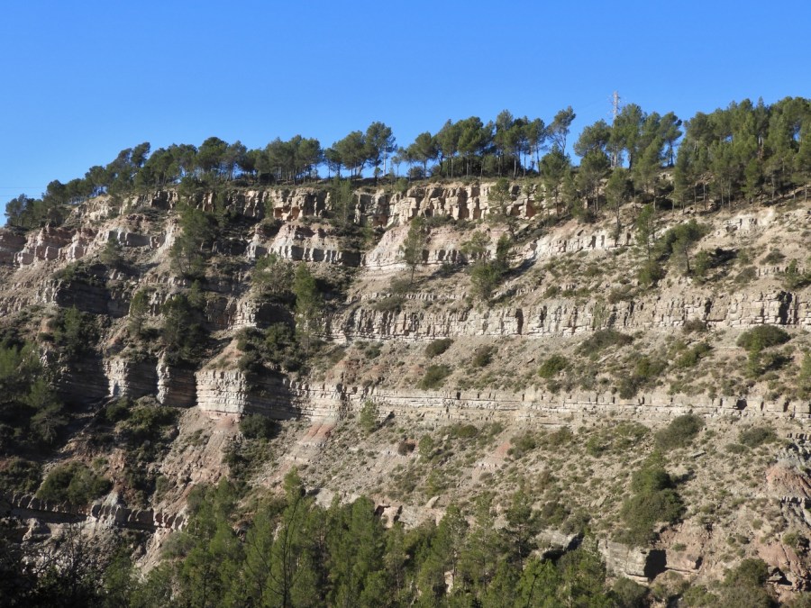

The range known as Serrat del Serrat rises abruptly on the left bank of the Llobregat river, south of Sallent town. Its summit that is topped by a telephone antenna is an excellent viewing point over Sallent, the Plain of Bages and the Llobregat valley. The Serrat del Xipell is not a raised by any fold mountain, but rather a testimonial relief remaining isolated between the large valley opened to the west by the Llobregat river and, to the south, the narrow valley dug by the stream of Solà descending from Montcogul, Sant Martí de Serraïma and El Solà country house in a short and steep journey to join the river.
The cliff by the stream of Solà in Serrat del Xipell is very tilted and unstable, impossible for humans but not for a group of three goats that find refuge there. The cliff of Serrat del Xipell is a 100-meter-high scale version of the Grand Canyon of Colorado that shows the complete and concordant stratigraphic sequence of sandstones, mudstones and grey limestones that laid on a continental plain during the late Upper Eocene and early Oligocene, about 35 million years ago.
The most consolidated sandstone layers stand out as steps and outline the horizontal stratification; however, when looking carefully to the protruding quadrangular prisms, you can see that the stacking of strata is not really flat but tilts slightly to the northwest. The Serrat del Xipell locates in the flank above, 1 km north from El Guix reverse thrust fault that spreads from southwest to northeast. Not surprisingly, the tilt of the strata of Serrat del Xipell is perpendicular to El Guix fault.
At the bottom of the valley of Solà there is the shaft nr. 3 and the entrance of the Solà ramp to the large Sallent-Balsareny potash mine, whose exploitation ceased in 2020. Along decades, millions of tons of salt and potash that were excavated from the saline subsoil have exited through the Solà ramp, the waste of which accumulates in the huge Cogulló salt dump.
[photos Jordi Badia]
